Geospatial Data Visualization for Better Decision Making
Introduction to Geospatial Data Visualization
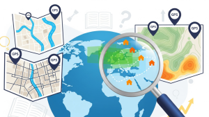
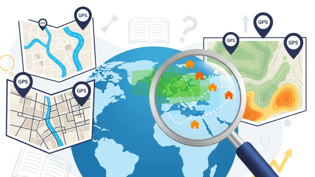
Geospatial data visualization transforms complex location-based information into visual formats such as maps, charts, and interactive dashboards. By converting raw data into a visual context, organizations can uncover spatial patterns, relationships, and trends that would otherwise remain hidden. This capability is crucial for better decision-making, strategic planning, and operational efficiency across multiple industries.
With the rise of artificial intelligence (AI) and advanced analytics, Geospatial data visualization has evolved from static maps to dynamic, predictive, and interactive solutions, empowering businesses and governments to make smarter, faster decisions.
The Importance of Geospatial Data Visualization
Simplifying Complex Data
Geospatial datasets often contain vast amounts of information, including coordinates, population statistics, traffic patterns, environmental readings, and economic indicators. Visualization simplifies this complexity, allowing decision-makers to grasp insights quickly and accurately.
Interactive maps, heatmaps, and 3D models provide intuitive understanding, enabling stakeholders to analyze trends, identify anomalies, and prioritize actions based on spatial intelligence.
Enhancing Strategic Planning
Organizations leverage geospatial data visualization to support strategic initiatives such as urban planning, market expansion, disaster response, and infrastructure development. Visual insights highlight areas of opportunity, potential risks, and operational inefficiencies, guiding more informed, evidence-based decisions.
By integrating AI with geospatial visualization, predictive models can forecast trends and outcomes, helping organizations plan proactively rather than reactively.
Applications in Business and Industry
Retail and Market Analysis
Retailers use geospatial data visualization to understand customer behavior, optimize store locations, and design targeted marketing campaigns. Heatmaps of foot traffic, demographic overlays, and competitor mapping provide actionable insights that improve market positioning and revenue generation.
AI-enhanced geospatial visualization further allows businesses to anticipate customer needs, predict regional demand, and personalize offers, creating a competitive advantage in the marketplace.
Transportation and Logistics
Geospatial visualization is critical for optimizing transportation networks and logistics operations. Fleet operators use maps and interactive dashboards to monitor vehicle locations, traffic conditions, and delivery performance in real time.
Predictive visualization tools identify bottlenecks, suggest alternative routes, and forecast transit delays, enabling companies to improve efficiency, reduce fuel costs, and enhance customer satisfaction.
Urban Planning and Smart Cities
City planners rely on geospatial visualization to design smarter, more sustainable urban environments. Visual representations of population density, infrastructure networks, and public service coverage help planners optimize land use, allocate resources effectively, and reduce congestion.
AI-driven geospatial visualization also supports predictive modeling for urban growth, disaster preparedness, and energy distribution, ensuring cities are resilient and adaptive to future challenges.
Environmental Management and Sustainability
Geospatial data visualization plays a key role in monitoring environmental conditions and managing natural resources. Organizations visualize pollution levels, deforestation patterns, water usage, and climate impacts to make informed conservation and sustainability decisions.
Interactive maps allow stakeholders to identify critical areas, track changes over time, and implement data-driven environmental policies, promoting long-term ecological balance.
Tools and Techniques for Geospatial Visualization
Geographic Information Systems (GIS)
GIS platforms are foundational tools for geospatial visualization. They allow users to capture, store, analyze, and visualize spatial data in the form of maps and layers. GIS tools integrate multiple data sources, enabling comprehensive analysis of complex geographic relationships.
Advanced GIS solutions also support AI integration, real-time updates, and predictive modeling, providing organizations with dynamic visual insights that drive decision-making.
Remote Sensing and Satellite Imagery
Remote sensing technologies provide high-resolution geospatial data for visualization. Satellite imagery and aerial photography are processed and displayed through mapping tools, revealing land use, environmental changes, and infrastructure development.
Machine learning algorithms enhance the visualization process by detecting patterns, classifying regions, and generating predictive insights from the data.
Interactive Dashboards and 3D Models
Modern geospatial visualization platforms include interactive dashboards and 3D modeling capabilities. Users can manipulate layers, zoom into specific regions, and explore data in multiple dimensions.
These visualizations facilitate collaboration across departments, enabling stakeholders to analyze spatial data together, make informed decisions, and communicate insights effectively.
Benefits of Geospatial Data Visualization
Improved Decision-Making
Visualization translates complex spatial data into actionable insights, enhancing decision-making. Organizations can identify trends, detect anomalies, and prioritize interventions based on visual evidence.
AI-powered visualization further improves predictive accuracy, allowing stakeholders to anticipate challenges and plan strategically.
Enhanced Operational Efficiency
Geospatial visualization streamlines operations by providing real-time situational awareness. Logistics, emergency response, and service delivery teams can monitor activities, optimize routes, and allocate resources efficiently.
This operational transparency reduces errors, minimizes costs, and improves overall performance.
Risk Management and Disaster Response
Visualizing geospatial data allows organizations to assess risks, plan for contingencies, and respond effectively to emergencies. Natural disasters, traffic accidents, and infrastructure failures can be mapped in real time, guiding response strategies and resource deployment.
Predictive visualization tools anticipate high-risk areas and suggest preventive measures, mitigating potential damages and ensuring safety.
Emerging Trends in Geospatial Data Visualization
AI-Enhanced Mapping
Artificial intelligence is transforming geospatial visualization by automating pattern recognition, anomaly detection, and predictive modeling. AI algorithms analyze spatial datasets and generate visual insights that reveal hidden correlations and future trends, providing organizations with actionable intelligence faster than ever.
Real-Time and Dynamic Visualizations
The demand for real-time geospatial visualization is growing. Streaming data from sensors, IoT devices, and mobile platforms enables dynamic maps that update continuously. Organizations can monitor evolving situations, respond to changes instantly, and optimize processes on the fly.
Cloud-Based Visualization Platforms
Cloud technology is making geospatial visualization more scalable and accessible. Cloud-based platforms allow organizations to store, process, and visualize large datasets without heavy on-premise infrastructure. This accessibility facilitates collaboration, data sharing, and integration with AI-powered analytics.
Cross-Industry Applications
Geospatial visualization is increasingly applied across sectors, including healthcare, finance, energy, and education. Location-based insights help organizations improve service delivery, optimize resource allocation, and enhance strategic planning, driving innovation and competitive advantage.
Challenges in Geospatial Data Visualization
Data Accuracy and Quality
The effectiveness of visualization depends on the quality and accuracy of geospatial data. Inconsistent, incomplete, or outdated data can lead to misleading conclusions and suboptimal decisions. Organizations must implement data validation, cleaning, and standardization processes to ensure reliability.
Technical Expertise and Resources
Advanced geospatial visualization requires technical skills in GIS, AI, and data analytics. Organizations must invest in skilled personnel, software tools, and computational resources to fully leverage visualization capabilities.
Privacy and Security Concerns
Geospatial data often includes sensitive location information. Visualization tools must ensure privacy and security by anonymizing data, complying with regulations, and protecting against unauthorized access.
Conclusion: Leveraging Geospatial Data Visualization
Geospatial data visualization is a powerful tool for enhancing decision-making, operational efficiency, and strategic planning. By transforming complex spatial data into intuitive visual formats, organizations can uncover patterns, predict trends, and respond proactively to challenges.
The integration of AI, real-time analytics, and cloud-based platforms is driving the next generation of geospatial visualization, enabling dynamic, predictive, and interactive insights. Businesses, governments, and organizations that harness the power of geospatial data visualization gain a competitive edge, improve operational performance, and create smarter, more informed strategies for success.